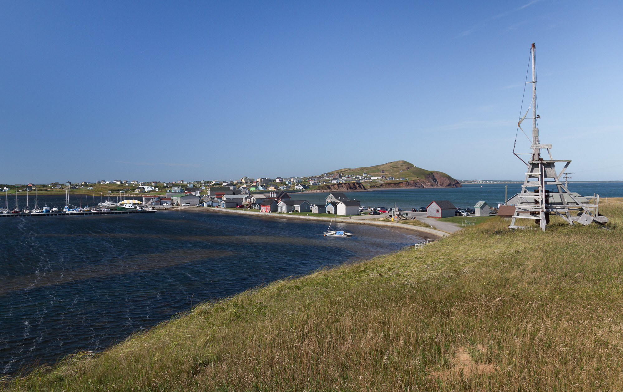
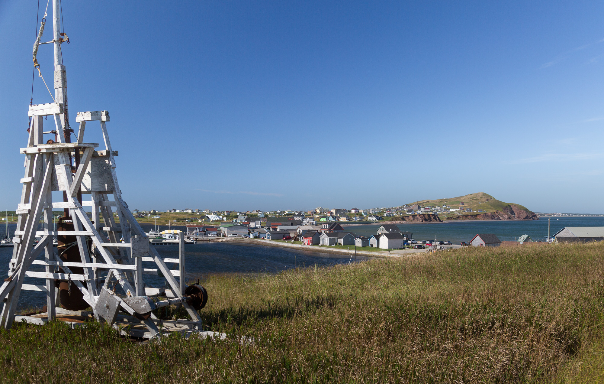
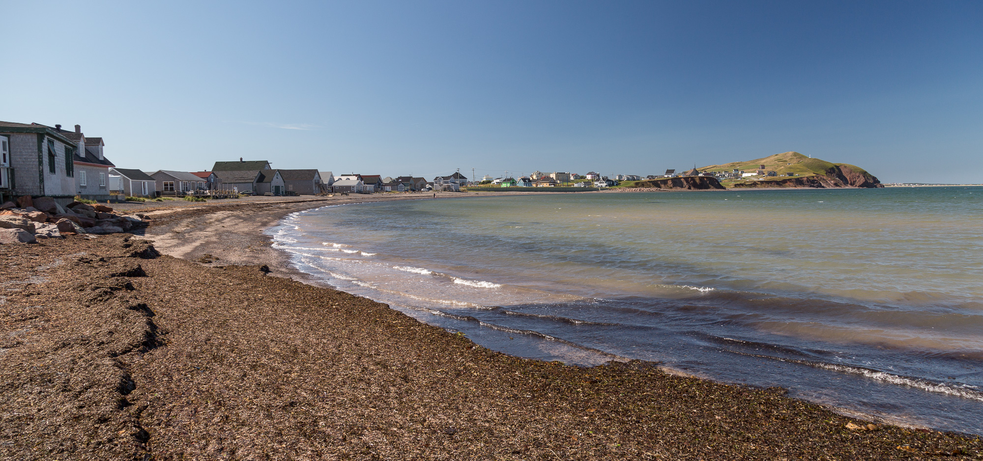
The next day we headed to Havre-Aubert on the southern tip of the islands. Here the harbour is formed by a spit of shingle, "Les Graves", that joins to a rocky point. Beside the road were several trebuchets; we thought these would have some historical significance, but it turns out they were just a private project by a local. We visited the local museum, which, though it focused on the skeleton of a washed up whale was most interesting for its descriptions of life on the islands in historical times.

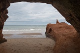
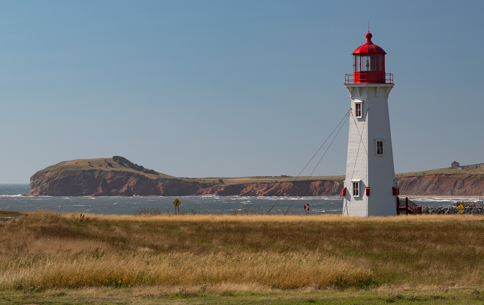
We then walked the rocky cliffs of the southwest edge of the islands.

5D3 3058  Taken at Latitude/Longitude:47.237847/-61.831275.  km       (Map link) 5D3 3059  Taken at Latitude/Longitude:47.237965/-61.831525.  km       (Map link) 5D3 3060  Taken at Latitude/Longitude:47.238350/-61.833450.  km       (Map link) 5D3 3061  Taken at Latitude/Longitude:47.238350/-61.833450.  km       (Map link) 5D3 3070  Taken at Latitude/Longitude:47.238007/-61.834529.  km       (Map link)
5D3 3073  Taken at Latitude/Longitude:47.234732/-61.828514.  km       (Map link) 5D3 3076-2  Taken at Latitude/Longitude:47.236461/-61.827843.  km       (Map link) 5D3 3077  Taken at Latitude/Longitude:47.212938/-61.964248.  km       (Map link) 5D3 3080  Taken at Latitude/Longitude:47.212804/-61.960025.  km       (Map link) 5D3 3081  Taken at Latitude/Longitude:47.212388/-61.968865.  km       (Map link)
5D3 3082  Taken at Latitude/Longitude:47.301866/-61.934473.  km       (Map link) 5D3 3083  Taken at Latitude/Longitude:47.301866/-61.934473.  km       (Map link)